River Valley Engagement
Consultation has concluded. Thank you for your feedback.
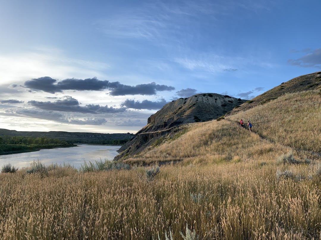
Consisting of over 1,700 hectares, Lethbridge’s river valley is the defining natural feature of the city. Mostly undeveloped, the river valley is the home to a diverse population of plants and animals and serves as a corridor for many more. This crown jewel of Lethbridge serves area residents and visitors from a passive and active perspective. There are innumerable view points from which to take in the beautiful vistas; through hiking, running, walking, photography, and many other pursuits the valley fills the needs of many.
Along with city residents, the City is a steward of the river valley. While plans have been developed (most recently the River Valley Parks Master Plan 2017) that present visions for the river valley and identify management strategies and potential projects, City Council decided in mid-2020 to engage again with stakeholders and residents.
Throughout October the public will be asked to provide their thoughts about recreation and preservation in the river valley. Households will be mailed a postcard early in the month that directs them to a survey on the City’s Get Involved Lethbridge webpage. The postcard provides each household with its own, unique code that will allow them access to answer the questions.
Additionally the public will be able to virtually mark points on a map of the river valley. There is an interactive map available below for people to label areas of interest and importance to them: places that they think would benefit from improvement or protection.
The results of the engagement will culminate in a summary report that will identify management strategies as well as areas to recreate in and areas to simply appreciate. The project is expected to be completed by the end of 2020.
Consultation has concluded. Thank you for your feedback.
-
Survey Closed
Share Survey Closed on Facebook Share Survey Closed on X (formerly Twitter) Share Survey Closed on Linkedin Email Survey Closed linkWe are blown away by Lethbridge residents and their love for our river valley! We received over 3000 responses to the post card survey sent out earlier this month. Thank you to each and every one of you who filled out the survey and provided input on how you use and value recreation in the valley. Survey results will be posted here in the coming weeks.
Consultation has concluded. Thank you for your feedback.

