Interactive Map - Vertisee
Thank you to everyone who utilized the mapping tool for this project. This section is now closed as we compile data and complete the final report.
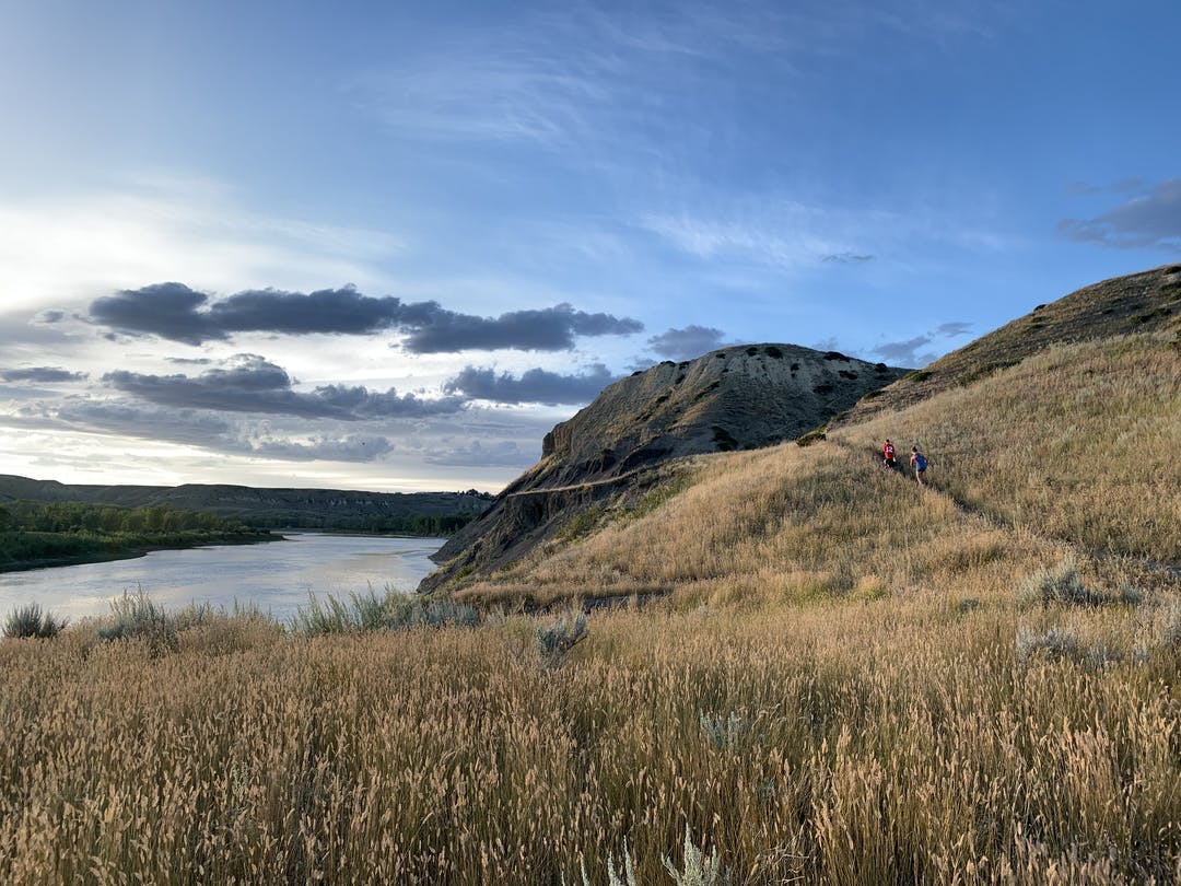
It’s about the river valley…and we want to hear from you!
The City of Lethbridge is asking residents to provide their thoughts about recreation and preservation in the river valley. This information will help guide decision making about the river valley and its future use by interested organizations. Please note: the information gathered through this process will be reviewed by the City but may not lead to implementation.
To help visualize impacted, special, or areas of concern in the river valley, we are utilizing an interactive mapping tool called Vertisee. The map is available here:
Through this mapping tool you can identify specific places in the river valley.
- Select an aerial image from the map styles button above as a base layer for your view.
- Zoom (+/-) into the area on the map you wish to comment on.
- Select a pin from the top left↖ and click on the map to leave a comment using the following options:
- Improve existing – use this pin to identify an existing amenity / development / feature that you think should be improved. This could point to anything that is already there such as signage, trails, and others.
- Develop new – use this pin to identify what new feature (amenity / development) should be located on that spot. You could use this to identify a sign that needs posting, a new trail, preservation area, or something else.
- Concern – this pin will identify some concern you have in an area. This could be a concern about how that place is being used or concerns about the physical condition of a feature.
- Protect – with this pin you can identify an area that you think should be protected. Please indicate why you think it should be protected and from what.
- For each pin you put on the map you can label the pin and add a description of what the feature is or why you identified this location as important.
- Click Save. Your comments will be saved and your pin will appear on the map.
How to Explore the Area
- Use the icons in the top right ↗ to change the map layers to learn more about the area and what others have to say:
- Comments: Read comments from other participants by clicking Layers and checking any of the comment layers.
Share Interactive Map - Vertisee on Facebook
Share Interactive Map - Vertisee on X (formerly Twitter)
Share Interactive Map - Vertisee on Linkedin
Email Interactive Map - Vertisee link
Consultation has concluded. Thank you for your feedback.
