Winston Churchill to Sugar Bowl Functional Plan
Consultation has concluded
On February 11, 2026 City Council voted 6-2 in favour of cancelling the proposed Capital Project 18 Street Functional Planning & Design Study.
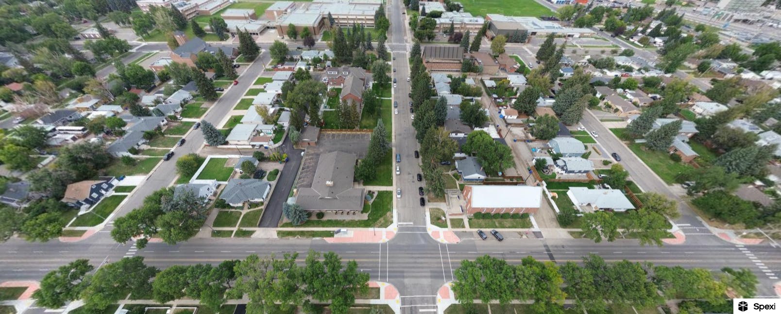
The City of Lethbridge is beginning a functional planning and design study for an active transportation link connecting from 26 Avenue N to Scenic Drive S, or from approximately Winston Churchill High School to the Sugar Bowl between 16 Street and 20 Street. We want to make sure this corridor works well for all types of transportation, both now and in the future. Winston Churchill to Sugar Bowl Corridor, from 26 Avenue N to Scenic Drive S between 16 Street and 20 Street
Why are we doing this?
There are many reasons as to why we are doing this project:
- Designated Route: The 2017 Cycling Master Plan designates 18 Street as a future “bike boulevard”. A bike boulevard means adding safety improvements to make the street comfortable for people of all ages and abilities to share the street with other road users. As part of the study, the project team will consider creating a north-south bike route that connects local neighbourhoods and key destinations.
- Encouraging Active Transportation: A bike boulevard will play a key role in encouraging active transportation and improving overall road safety and livability in the surrounding neighbourhoods.
- A North-South Connector: This corridor will be an important route for getting around our community. It links major roads and gives access to key places and services, such as:
- The Sugar Bowl at Scenic Drive
- Chinook Regional Hospital
- Multiple schools, including Winston Churchill School, Galbraith Elementary School and LCI
- Several parks, shopping areas, and residential neighborhoods
We want to design a street that is safe, easy to use, and comfortable for everyone, whether you walk, drive, bike, or use wheelchairs, scooters, or strollers.
- North-south bike route: The study is currently focused on 18 Street as one of the options for a north/south bike route. Your feedback will help us understand whether we are focused on the best route.
- Keeping the corridor working well: The study will create plans for a safe, accessible corridor that supports everyone who drives, bikes, walks, or uses wheelchairs and strollers. Sidewalks will stay, vehicle lanes will not be removed, and parking will change very little.
How can you shape the future of the corridor?
There will be four rounds of engagement starting in January 2026. These rounds of engagement will give you many chances to learn more about the project and share your thoughts at important points in the project.
Your input will help us:
- Understand how you use the corridor today
- Identify challenges and opportunities
- Develop design options and solutions
- Choose preferred designs for the corridor
-
Consultation has concluded
The Winston Churchill to Sugar Bowl corridor links key roadways in the City as well as many popular community spaces, including the Sugar Bowl at Scenic Drive, Chinook Regional Hospital, several schools, parks, shopping areas and residential areas. The City is working on a functional planning and design study for the corridor. As part of the study, we are considering making a street a “bike boulevard”, which would create a north-south bike route that connects local neighbourhoods and key destinations.
The City wants to understand how you use the corridor today and help us envision what it could look like in future. Your input will help the City create a plan for the Winston Churchill to Sugar Bowl Corridor that improves safety and mobility for all modes of transportation, for people who walk, drive, roll, and cycle.

Community and interest holder participation in this study will be used to:
- identify existing challenges and opportunities;
- inform design options and solutions; and
- inform concept designs and recommendations for the corridor.
For more information, visit: getinvolvedlethbridge.ca/wc2sbfp
This survey closes on February 4, 2026.
Share Winston Churchill to Sugar Bowl Functional Plan – Round 1 Engagement – Survey on Facebook Share Winston Churchill to Sugar Bowl Functional Plan – Round 1 Engagement – Survey on X (formerly Twitter) Share Winston Churchill to Sugar Bowl Functional Plan – Round 1 Engagement – Survey on Linkedin Email Winston Churchill to Sugar Bowl Functional Plan – Round 1 Engagement – Survey link
